Rapid Oil Spill Surveillance
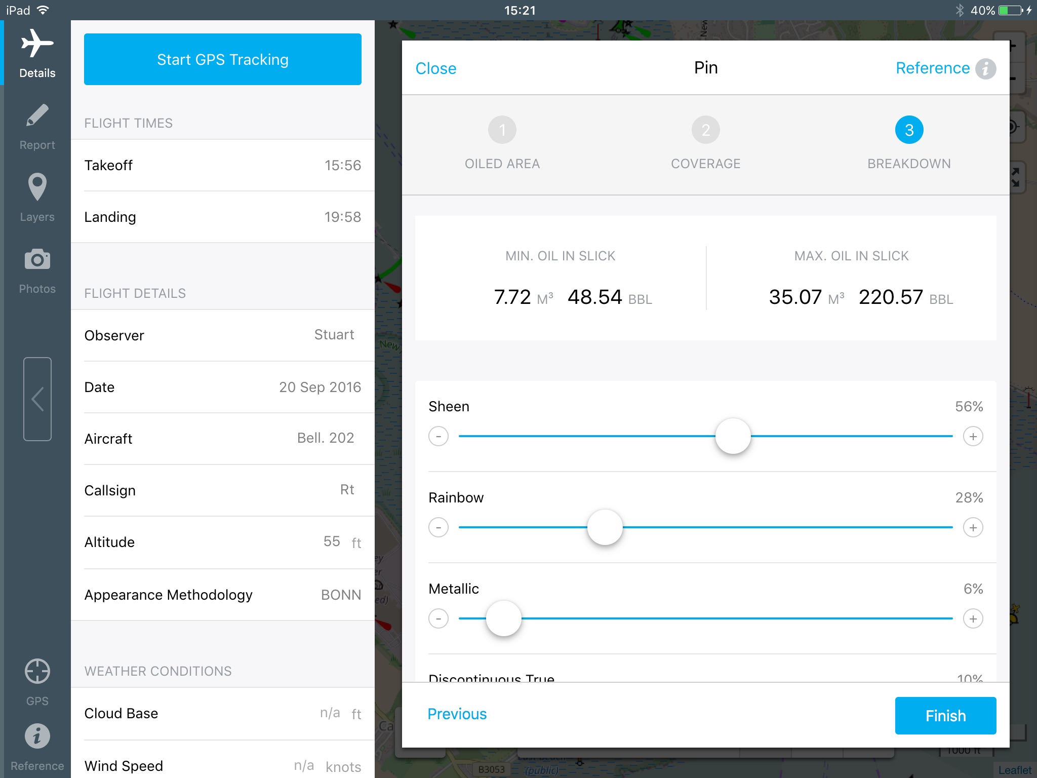
ROSS (Rapid Oil Spill Surveillance) is our app dedicated to making aerial surveillance reporting easier, by automating calculations, and using an interactive map to record observations and photos.
Oil spill observations can be added to the map with a few taps, and the app instantly provides a summary of the estimated minimum and maximum quantity spilt. The app can also record any other data such as shoreline oiling and operational information. The app is also supported with a technical reference library which can be accessed at any point.
Data can be exported as a customised PDF report, KMZ, CSV, or can be shared with another ROSS app user.
Our apps are not for profit, and the cost of the app goes towards ongoing maintenance and updates.

